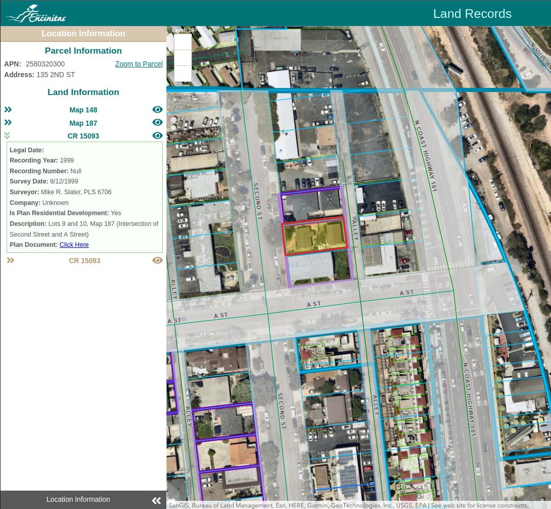
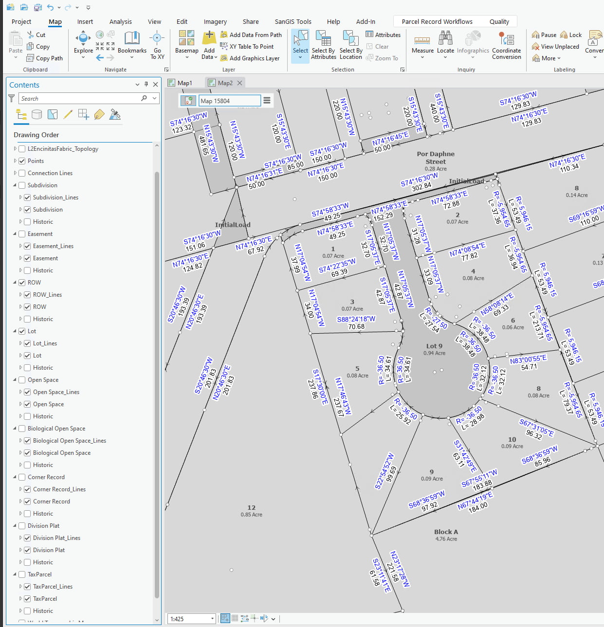
Faced with aging GIS infrastructure and the impending retirement of ArcMap, the City of Encinitas saw an opportunity to modernize how they manage land records. The transition to ArcGIS Pro was essential not only to maintain compatibility with Esri’s evolving technology stack—but also to unlock new efficiencies in parcel editing and data integrity.
But before the City could migrate to ArcGIS Pro, they first had to solve a foundational challenge: their ArcGIS Enterprise environment and servers were outdated, making it impossible to support the new system. That’s where Quartic stepped in.

The Challenge: A Retiring System, Outdated Servers, and a Ticking Clock
Before reaching out to Quartic, Encinitas was operating on ArcGIS Enterprise 10.7 and Windows Server 2012. Their existing Parcel Fabric was still tied to ArcMap, which Esri has officially begun to retire. The city needed to migrate to ArcGIS Pro’s modern Parcel Fabric environment—but their infrastructure just wasn’t ready to support it.
According to Quartic’s team, most of the time and effort in this project went toward modernizing the city’s server environment and enterprise deployment—a critical prerequisite to adopting the new data model.
The Solution: Lifting the Foundation Before Laying New Tracks
Quartic delivered a full-scope engagement that included:
- Upgrading ArcGIS Enterprise from 10.7 to 10.9.1
- Migrating from Windows Server 2012 to Windows Server 2022
- Migrating the Parcel Fabric to the ArcGIS Pro schema
- Publishing new feature services
- Implementing custom attribute rules to ensure data integrity
- Updating internal and external apps to integrate with the new system
- Upgrading ArcGIS JavaScript API versions
Throughout the process, Quartic handled configuration, data migration, QA/QC, and post-migration support in close collaboration with the City of Encinitas.
“They make your GIS goals happen. You have an idea, you discuss it with them, and then they make it happen.”
Kevin Highland, GIS Analyst at the City of Encinitas

Esri Tools Used for This Project:
ArcGIS Pro

Arcade
Additional Esri Tools Used for This Project:
- Enterprise Geodatabase
- ArcGIS Javascript API
The Results: A Faster, Future-Ready GIS That Just Works
Now that Encinitas is fully transitioned to ArcGIS Pro’s Parcel Fabric, Kevin describes the system as “a lot faster than the old” ArcMap-based version. The internal workflows for maintaining parcel data are streamlined, and the city is positioned for long-term compatibility with Esri’s product roadmap.
More importantly, the upgraded environment now supports a future-ready GIS infrastructure, enabling improved app performance and smoother integration across departments and public-facing systems.
“When it comes to GIS, they do everything…And they do it well. And it works.”
Kevin Highland, GIS Analyst


