
Vallecitos Water District faced a common but pressing challenge: their legacy GIS system, built on Esri’s soon-to-be-retired Geometric Network model, couldn’t keep up with the demands of modern water utility operations. With Esri encouraging migration to its new Utility Network framework, Vallecitos needed to upgrade — but without disrupting essential daily workflows. They turned to Quartic to lead a seamless, zero-downtime migration that would bring faster performance, better tools, and a future-ready GIS backbone.
Executive Summary
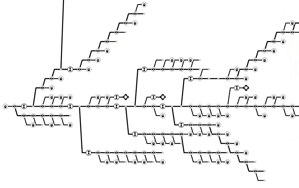
Quartic guided Vallecitos Water District through a full migration from Esri’s Geometric Network to their Utility Network — without disrupting operations. This complex transition involved cleaning and reconfiguring decades-old data, writing custom scripts for data mapping, and deploying a parallel Utility Network instance that allowed staff to continue working uninterrupted. Post-migration, district staff benefit from faster rendering speeds, more customizable tracing, and powerful new visualization tools — all within a system that looks and feels familiar but performs at a much higher level.
The Challenge: A Legacy Network Holding Back Progress
Vallecitos Water District had built their GIS network years ago on Esri’s Geometric Network, a now-outdated model that only works on the soon-to-be-retired ArcMap software. With ArcGIS Pro as the new standard — and Geometric Network no longer supported — the district needed to migrate to Esri’s modern Utility Network to continue editing, tracing, and managing their water data.
The challenges included:
- A legacy network with outdated topology rules
- Inconsistent naming conventions and schema across years of accumulated data
- The need to retain familiar workflows and map styling for staff
- Avoiding service disruption during the migration
The Solution: Parallel Utility Network Migration with No Downtime
Quartic handled the full end-to-end migration:
Planning, data cleaning, configuration, testing, deployment, QA, and go-live.
Key solution highlights:
- Parallel Deployment: The Utility Network was deployed alongside the existing network so staff could continue working throughout the migration.
- Data Cleanup: Quartic combed through and corrected legacy errors in the original network to meet the strict rules of the Utility Network model.
- Custom Python Scripts: Used for data mapping and transformation, ensuring seamless alignment of legacy field names and values with the new schema.
- Minimal Disruption: On go-live day, Quartic simply redirected all maps and applications to the new Utility Network. Staff paused edits for only a few hours — the rest of the migration was invisible to users.
Esri Tools Used in this Project

ArcGIS Pro

ArcGIS Solutions

ArcGIS Dashboards

ArcGIS Python API
The Results: A Future-Ready GIS with Familiar Feel
With the Utility Network in place, Vallecitos Water District now benefits from:
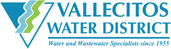
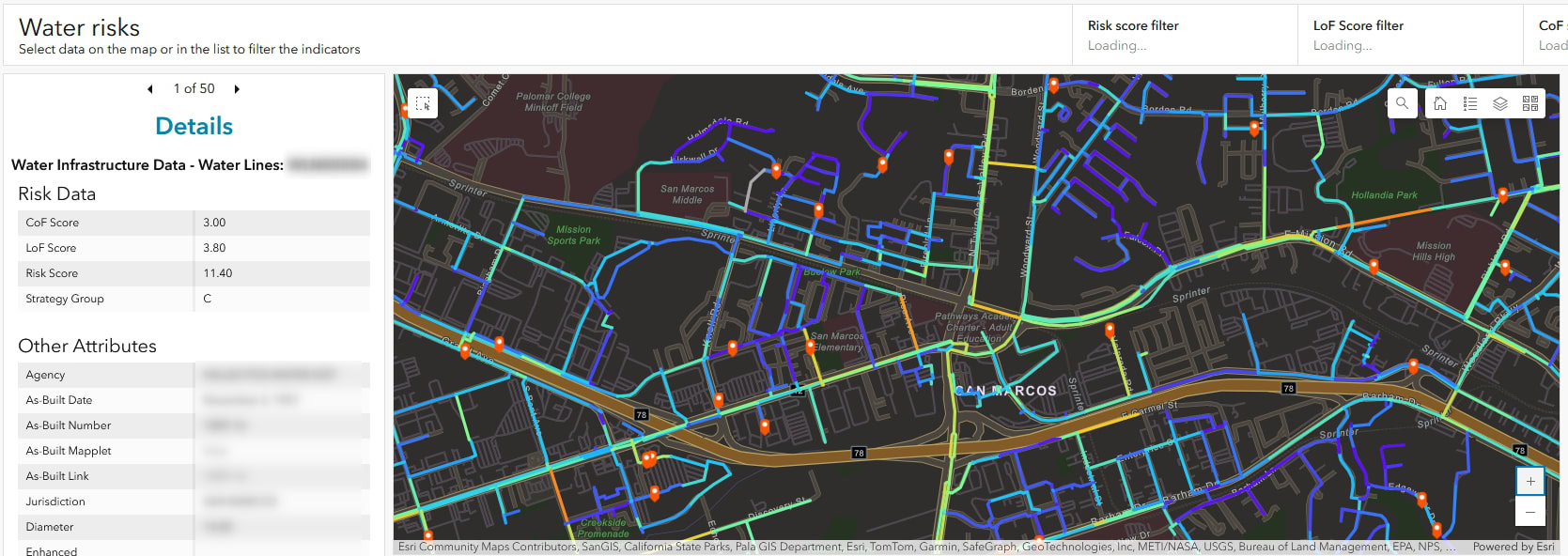
- Faster rendering and tracing speeds for daily editing and analysis
- Higher flexibility and customization in network tracing
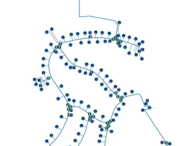
- New tools like simplified Utility Network Diagrams
- A seamless transition with no operational downtime
- Preserved visual consistency because maps and symbology remain familiar to users
Though largely invisible to the staff and public, this upgrade has aligned the Vallecitos Water District with industry-standard, fully supported software – while also streamlining operations for greater efficiency.
“Migrating to the Utility Network isn’t just about keeping up with Esri’s newer technology of feature-service based editing; it also provides faster performance, modern tools, and more flexible tracing, all in a system that feels familiar but performs at a whole new level.”
— Alexandre Bontemps, Senior GIS Analyst, Quartic