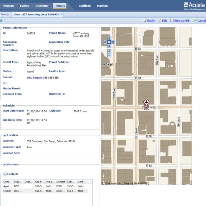
In September 2015, San Diego began migrating to the Accela Civic Platform, and the Accela ROW Management Module was selected as the replacement for IMCAT. Quartic was brought in to lead the creation, integration, and management of GIS data and processes into the new system. We also created a public-facing custom web app for ArcGIS Online.

The Accela ROW Management Module consolidates GIS and project information from multiple departments and systems, including utility data from Public Works, Capital Improvement Projects (CIP), Primavera project management, Development Services Department (DSD) permits, special events, and excavation moratorium locations. This information is analyzed by time and location to identify and highlight areas of potential conflict in the ROW.
Quartic developed a series of scripts to feed the Accela API with data from the City’s Enterprise GIS and Primavera CIP management system. Through this development effort, Quartic worked with the City to identify authoritative data sources and enforce maintenance and content standards.
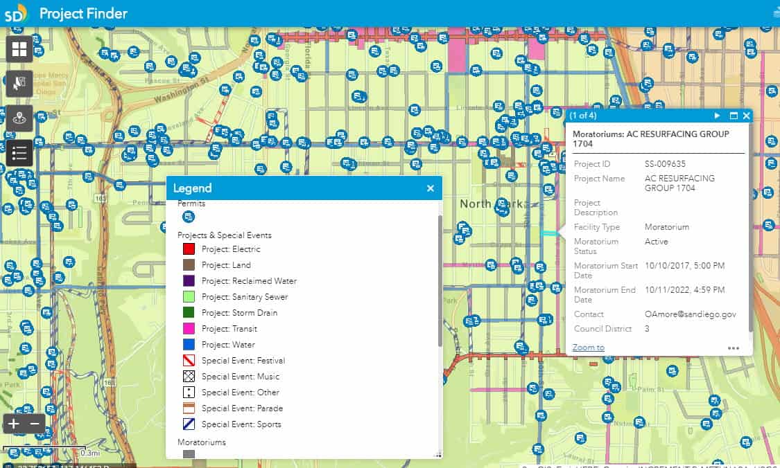
ArcGIS Online Web App
The Project Finder Web App uses much of the same data as the Accela ROW Management module. Python scripts were created to access the source data and refresh the map services every 2 weeks. The app lets citizens see City CIP projects, permits, special events, and moratorium locations. Searches can be done by address and filtered by project type. Project details and contact information are easily viewed by clicking on the map.
View Project Finder Web Application Here


