City of San Diego Public Utilities Enables Unified Data Access
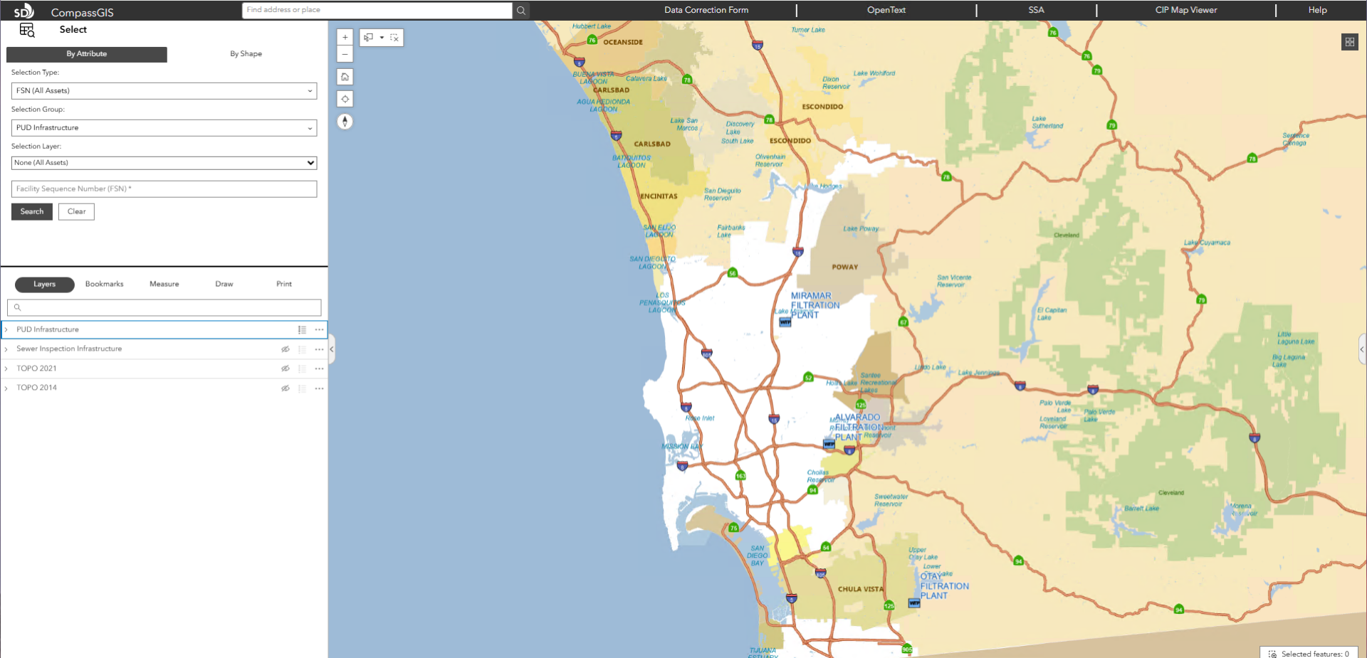
The City of San Diego’s Public Utilities Department (PUD) serves more than 2.3 million wastewater customers and provides drinking water to 1.4 million residents. The department manages a vast infrastructure network, including nine reservoirs, three water treatment plants, three wastewater treatment plants, 131 pump stations, and over 6,300 miles of pipelines. To support day-to-day operations, thousands of city…