who we are

The GIS Partner That Listens

Earning your trust is important to us. We won't recommend solutions you don't need or implement technology that hasn't been thoroughly tested. Every recommendation we make is grounded in what is practical, sustainable, and aligned with your goals and realities.

Contact now

Our Story

We started with a clear goal: 
use GIS to make a meaningful difference for local government.

More than 20 years later, that mission continues to guide our work.

We build solutions designed to last. Many applications developed for early clients remain in active use today, supporting core operations within local government.

Our Leadership

Jodi Luostarinen, MS, PMP, GISP

CEO

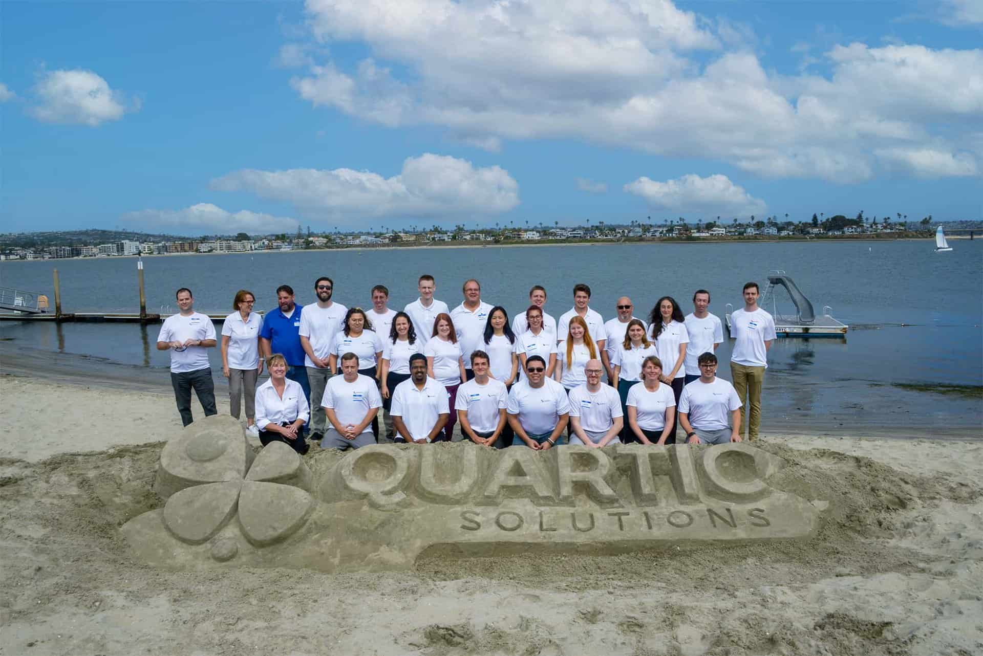
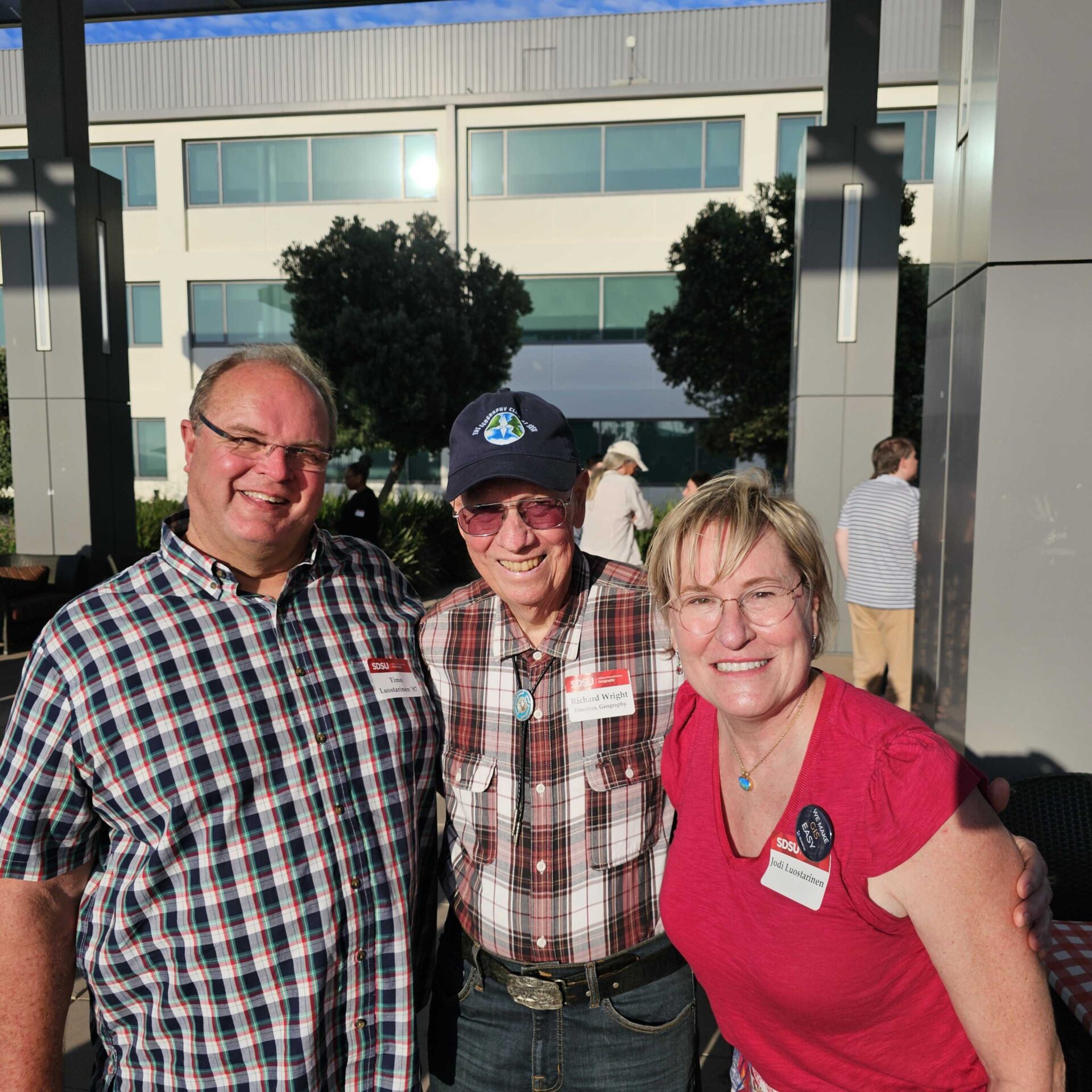
Jodi Luostarinen founded Quartic Solutions in 2004. She possesses an unusual blend of management, operational, and technical expertise in the field of GIS. With over twenty years of progressive experience in the field, she continues to successfully lead Quartic into the future.

Jodi earned a B.A. in Geography with Distinction, and a M.S. from the College of Engineering at the University of Washington.

She has many certifications, including Project Management (PMP) and Esri certification. Jodi is one of the longest standing certified GIS professionals (GISP) in the world!

Timo Luostarinen

President

Timo Luostarinen has over 25 years of experience in Geographic Information Systems and related technologies. His leadership has guided the business from a start-up into the established corporation Quartic is today. Timo has served clients in a large variety of roles throughout his career and is particularly versed in streamlining databases, land and environmental data, and data warehouse implementations.

Timo earned a B.A. in Geography from San Diego State University.

Timo is an exceptional enterprise solutions architect, and with his wide range of computer skills and ability to collaborate across organizations, he can solve nearly any problem.

company timeline

Key Moments in Quartic's History

Over the years, we've evolved alongside the GIS industry—expanding our expertise while staying true to our commitment to trusted partnerships and practical solutions.

  • Quartic's Founding

  • Esri Silver Partner

  • California State Small Business Designation

  • Women-Owned Business Designation

  • AT&T City of San Diego Innovation Award

    Developed a citizen-facing mapping application for finding nearby government services and facilities.

  • SAP / Esri Hackathon Winner

    Developed a real-time water quality monitoring solution that identified contamination hotspots using live sensor data and Esri/SAP technology.

  • Esri ArcGIS System Ready Specialty

  • Esri State & Local Government Specialty

  • Esri Gold Partner

    One of the first Esri State and Local Government partners to receive Gold Partner standing.

  • ArcGIS Monitor Service Partner

  • Esri Parcel Management Specialty

  • Esri Cloud Services Specialty

  • AWS & VertiGIS Partnerships

Supporting the next generation at sdsu

Giving Back to GIS

In 2025, Quartic created a scholarship for San Diego State University geography students which helps fund real-world experiences related to geography. Quartic president Timo Luostarinen is a SDSU graduate and SDSU’s geography department was foundational in igniting his passion for geography and GIS.  

As an SDSU student, he had opportunities for multiple hands-on internship experiences. One summer, he walked every square foot of Crystal Cove State Park to create a vegetation map. Another internship involved mapping Tijuana Estuary tidal flows. “These real-world projects with practical applications of GIS are what contributed to my career growth and success,” said Luostarinen. 

In addition to the scholarship, Quartic also funds a yearly lunch for SDSU’s geography department’s students, instructors, and alumni to connect and network. 

SDSU Scholarship Winners

success stories

Our Work

Explore how we’ve helped organization solve complex challenges, modernize GIS operations, and deliver meaningful results.

  • City of San Diego Public Utilities Enables Unified Data Access

    The City of San Diego’s Public Utilities Department (PUD) serves more than 2.3 million wastewater customers and provides drinking water to 1.4 million residents. The department manages a vast infrastructure network, including nine reservoirs, three water treatment plants, three wastewater treatment plants, 131 pump stations, and over 6,300 miles of pipelines.  To support day-to-day operations, thousands of city…

  • Long Beach Transit Automates Service Change Process 

    Long Beach Transit (LBT) keeps southeastern Los Angeles County and northwestern Orange County moving, serving more than 18 million riders each year. Covering over 100 square miles across 14 cities, LBT operates 250 buses on fixed routes, logging over 6.7 million service miles and 670,000 service hours annually. Beyond buses, LBT also provides water taxis and on-demand paratransit services, ensuring the…

  • Santa Clara Valley Transit Authority Streamlines GIS with Seamless Cloud Migration and VertiGIS Transition 

    Located on the southern coast of San Francisco Bay, Santa Clara County is home to Silicon Valley and is the sixth most populous county in California.  The Santa Clara Valley Transportation Authority (VTA) is an independent special district that both operates the county’s public transit system—providing bus, light rail, and paratransit services—and serves as the Congestion Management Agency (CMA), overseeing transportation…

  • Looking for a GIS Partner You Can Count On?

    We’re ready to listen, collaborate, and help you move forward with confidence.

    Contact Now